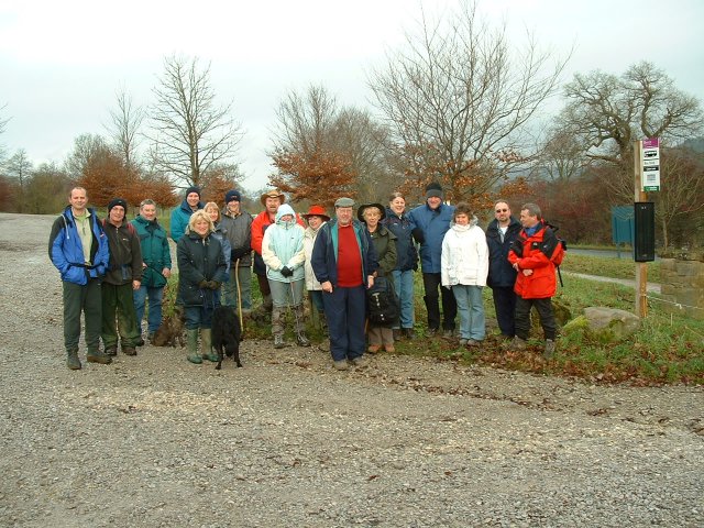
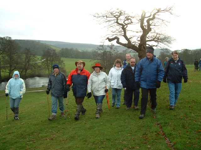
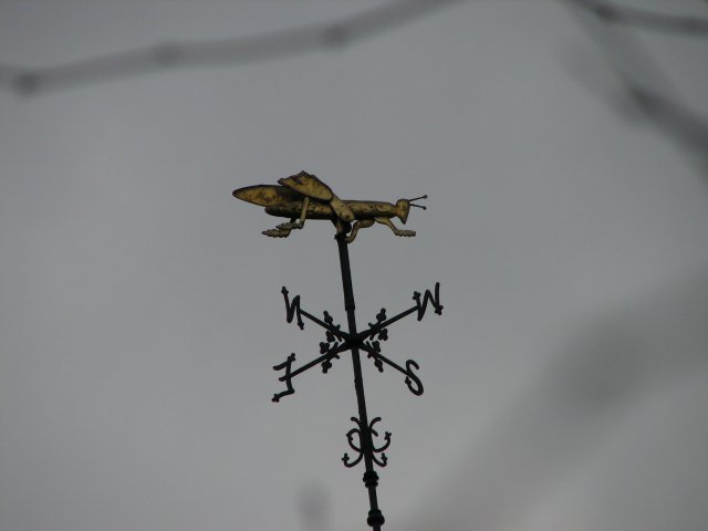
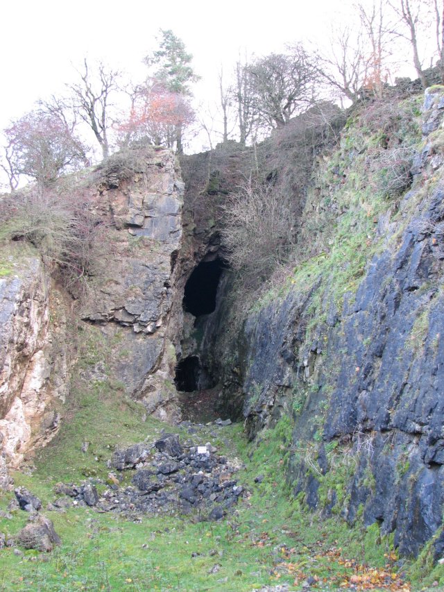
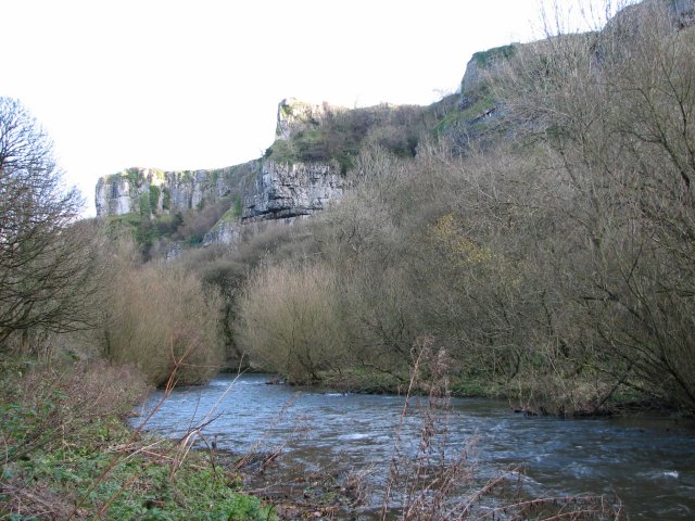
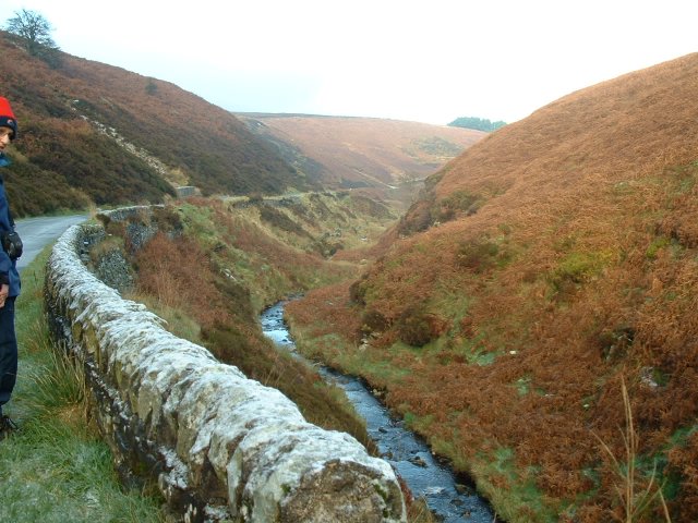
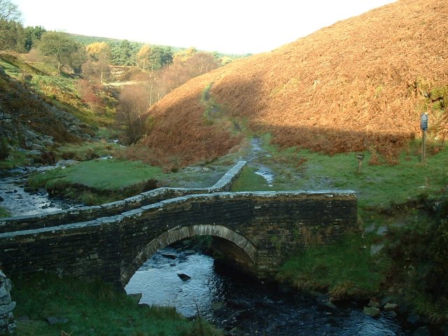
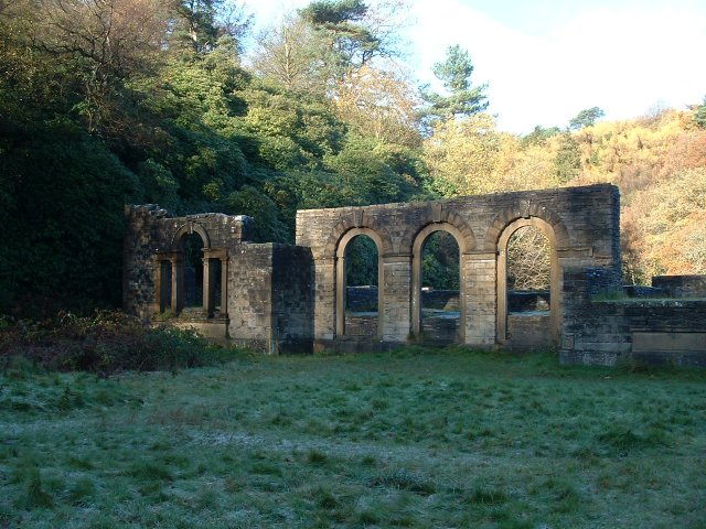
This weekend, we decided to just do a little meander of about 7 miles. Where better than Bakewell? I started the walk at Rowsley, and just went up into Haddon woods, along the tops, then down into Bakewell for a really nice lunch at Ricci's. This is the BEST place for pizza and pasta. they make it fresh while you watch and wait, and the coffee is the BEST in Bakewell, if not Derbyshire..
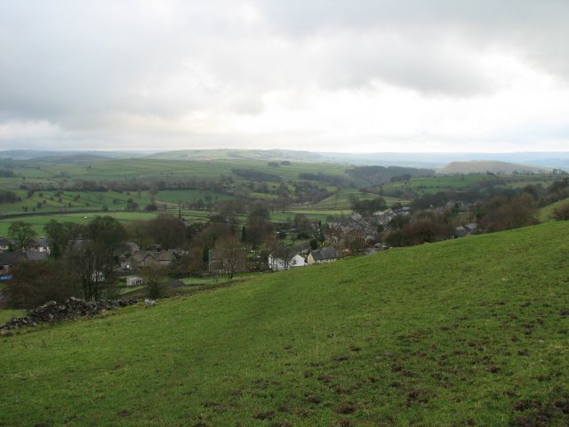
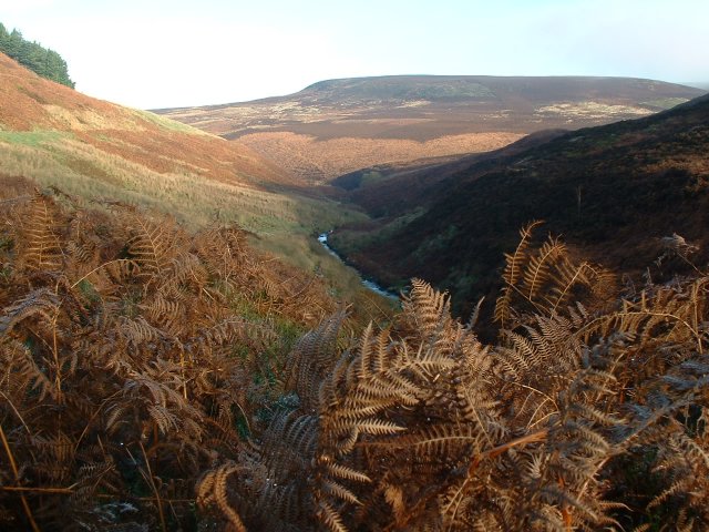
This is looking forwards to Bakewell from the path in the woods. As you can se, it was another lovely Sunday. I have been so lucky with the weather this year, and this unseasonably warm December has smiled on most of my walks.
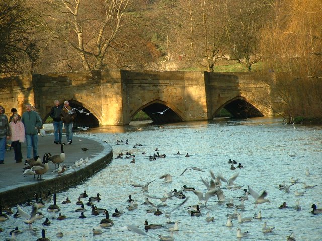
The famous arched bridge of Bakewell. I've taken this picture a thousand times, and will probably take it a thousand more. How could you EVER tire of such a lovely thing? Today the light was perfect for pictures too.

This is a view of the bridge from the other bank (where I fed the ducks). This time of year, there seem to be a LOT of seagulls about?

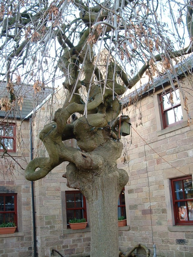
I just love the gnarls and twists in this old tree in one of the courtyards.

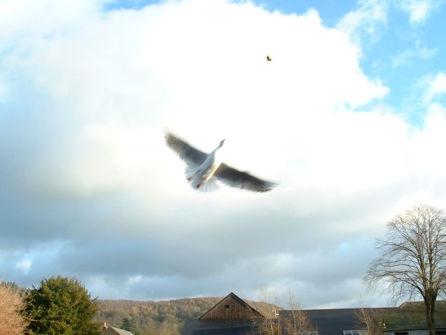
I went back to the river, and tried to catch the gulls in some of their acrobatic lunges at the bread I threw up in the air.

You can see this one with his eye on the prize!

Oh, how I'd love to live in one of these riverside apartments, but unless I win the lottery, it's just a dream.

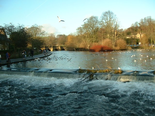
Crossing the new (horrible) metal bridge, this is the view upstream past the weir. You can see the old (beautiful) bridge further upriver.

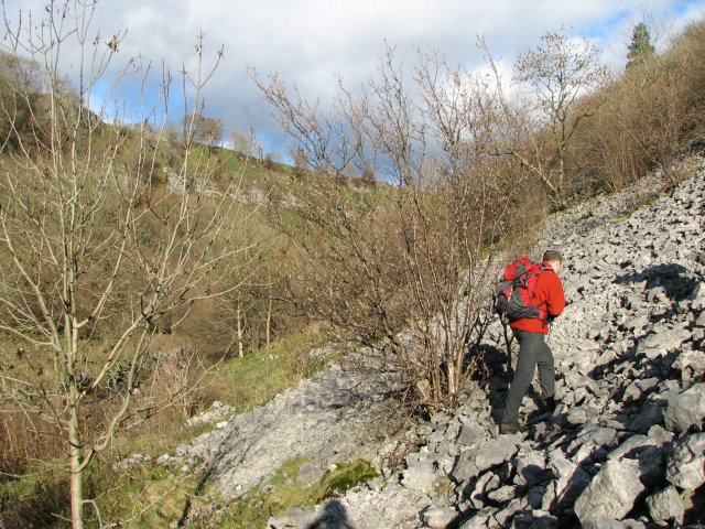
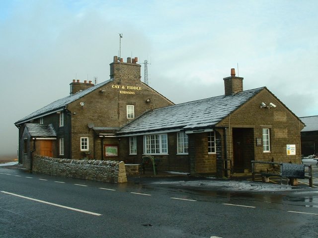
And that was it! We took to the fields for the steady walk back - mostly uphill. The effort kept the evening chill at bay, and a nice pint in the Grouse and Claret pub at Rowsley was my reward.
I just love the gnarls and twists in this old tree in one of the courtyards.
I went back to the river, and tried to catch the gulls in some of their acrobatic lunges at the bread I threw up in the air.

You can see this one with his eye on the prize!
Oh, how I'd love to live in one of these riverside apartments, but unless I win the lottery, it's just a dream.
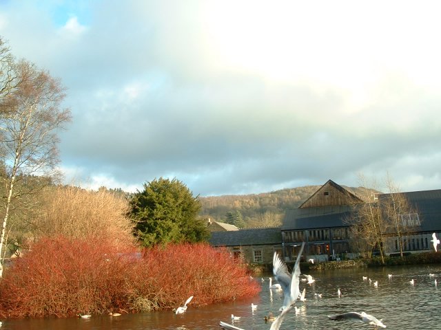
Crossing the new (horrible) metal bridge, this is the view upstream past the weir. You can see the old (beautiful) bridge further upriver.
And that was it! We took to the fields for the steady walk back - mostly uphill. The effort kept the evening chill at bay, and a nice pint in the Grouse and Claret pub at Rowsley was my reward.